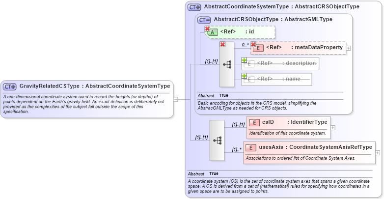
<xsd:complexType name="GravityRelatedCSType" xmlns:xsd="http://www.w3.org/2001/XMLSchema">
    <xsd:annotation>
        <xsd:documentation>A one-dimensional coordinate system used to record the heights (or depths) of points dependent on the Earth's gravity field. An exact definition is deliberately not provided as the complexities of the subject fall outside the scope of this specification. </xsd:documentation>
    </xsd:annotation>
    <xsd:complexContent>
        <xsd:extension base="gml:AbstractCoordinateSystemType" />
    </xsd:complexContent>
</xsd:complexType>
|