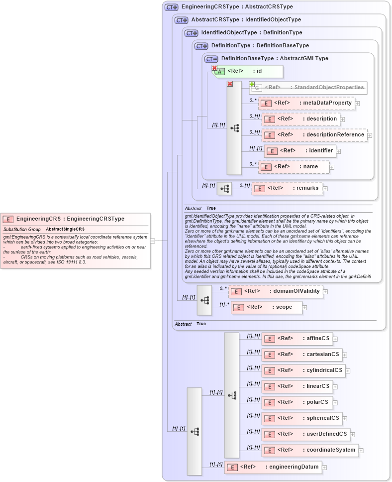
Definition Type: Element
Name: EngineeringCRS
Namespace: http://www.opengis.net/gml/3.2
Type: gml:EngineeringCRSType
Containing Schema: coordinateReferenceSystems.xsd
Abstract
Documentation:
gml:EngineeringCRS is a contextually local coordinate reference system which can be divided into two broad categories: - earth-fixed systems applied to engineering activities on or near the surface of the earth; - CRSs on moving platforms such as road vehicles, vessels, aircraft, or spacecraft, see ISO 19111 8.3.
Collapse XSD Schema Diagram:
Drilldown into engineeringDatum in schema coordinatereferencesystems_xsd Drilldown into coordinateSystem in schema coordinatereferencesystems_xsd Drilldown into userDefinedCS in schema coordinatereferencesystems_xsd Drilldown into sphericalCS in schema coordinatereferencesystems_xsd Drilldown into polarCS in schema coordinatereferencesystems_xsd Drilldown into linearCS in schema coordinatereferencesystems_xsd Drilldown into cylindricalCS in schema coordinatereferencesystems_xsd Drilldown into cartesianCS in schema coordinatereferencesystems_xsd Drilldown into affineCS in schema coordinatereferencesystems_xsd Drilldown into scope in schema referencesystems_xsd Drilldown into domainOfValidity in schema referencesystems_xsd Drilldown into remarks in schema dictionary_xsd Drilldown into name in schema gmlbase_xsd Drilldown into identifier in schema gmlbase_xsd Drilldown into descriptionReference in schema gmlbase_xsd Drilldown into description in schema gmlbase_xsd Drilldown into metaDataProperty in schema deprecatedtypes_xsd Drilldown into StandardObjectProperties in schema gmlbase_xsd Drilldown into id in schema gmlbase_xsd Drilldown into DefinitionBaseType in schema dictionary_xsd Drilldown into DefinitionType in schema dictionary_xsd Drilldown into IdentifiedObjectType in schema referencesystems_xsd Drilldown into AbstractCRSType in schema referencesystems_xsd Drilldown into EngineeringCRSType in schema coordinatereferencesystems_xsdXSD Diagram of EngineeringCRS in schema coordinatereferencesystems_xsd (Geography Markup Language)
Collapse XSD Schema Code:
<element name="EngineeringCRS" type="gml:EngineeringCRSType" substitutionGroup="gml:AbstractSingleCRS">
    <annotation>
        <documentation>gml:EngineeringCRS is a contextually local coordinate reference system which can be divided into two broad categories:
-	earth-fixed systems applied to engineering activities on or near the surface of the earth;
-	CRSs on moving platforms such as road vehicles, vessels, aircraft, or spacecraft, see ISO 19111 8.3.</documentation>
    </annotation>
</element>
Collapse Child Elements:
Name Type Min Occurs Max Occurs
metaDataProperty gml:metaDataProperty 0 unbounded
description gml:description 0 (1)
descriptionReference gml:descriptionReference 0 (1)
identifier gml:identifier 0 (1)
name gml:name 0 unbounded
metaDataProperty gml:metaDataProperty 0 unbounded
description gml:description 0 (1)
descriptionReference gml:descriptionReference 0 (1)
identifier gml:identifier (1) (1)
name gml:name 0 unbounded
remarks gml:remarks 0 (1)
domainOfValidity gml:domainOfValidity 0 unbounded
scope gml:scope (1) unbounded
affineCS gml:affineCS (1) (1)
cartesianCS gml:cartesianCS (1) (1)
cylindricalCS gml:cylindricalCS (1) (1)
linearCS gml:linearCS (1) (1)
polarCS gml:polarCS (1) (1)
sphericalCS gml:sphericalCS (1) (1)
userDefinedCS gml:userDefinedCS (1) (1)
coordinateSystem gml:coordinateSystem (1) (1)
engineeringDatum gml:engineeringDatum (1) (1)
<xs:group> gml:StandardObjectProperties (1) (1)
Collapse Child Attributes:
Name Type Default Value Use
id gml:id Required
Collapse Derivation Tree:
Collapse References:
gml:AbstractSingleCRS