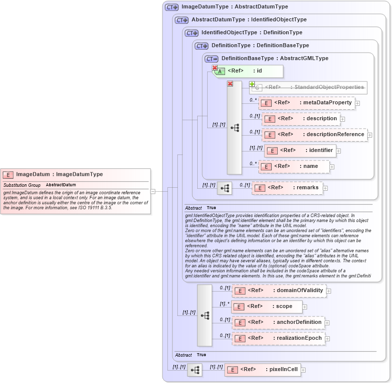
| Definition Type: | Element |
| Name: | ImageDatum |
| Namespace: | http://www.opengis.net/gml/3.2 |
| Type: | gml:ImageDatumType |
| Containing Schema: | datums.xsd |
| Abstract | |
| Documentation: |
gml:ImageDatum defines the origin of an image coordinate reference system, and is
used in a local context only. For an image datum, the anchor definition is usually
either the centre of the image or the corner of the image. For more information, see
ISO 19111 B.3.5.
|
|
|
|
|||||||||||||||||||||||||||||||||||||||||||||||||||||||||||||||||||||||||
|
|||||||||
| gml:AbstractDatum | |