<element name="ProjectedCRS" type="gml:ProjectedCRSType" substitutionGroup="gml:AbstractGeneralDerivedCRS">
<annotation>
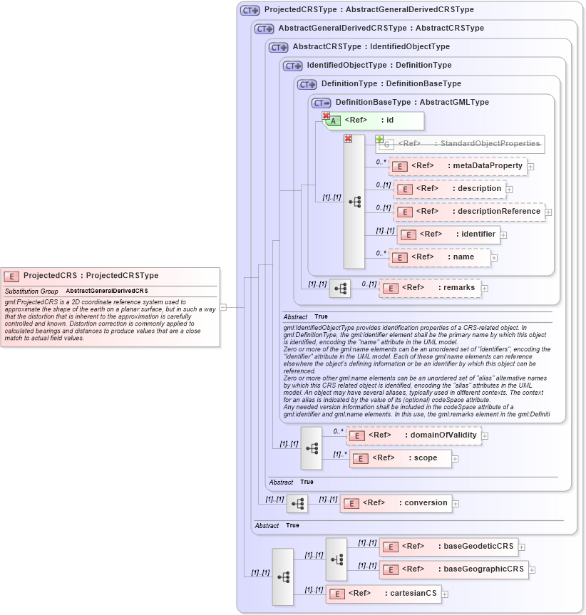
<documentation>gml:ProjectedCRS is a 2D coordinate reference system used to approximate the shape of the earth on a planar surface, but in such a way that the distortion that is inherent to the approximation is carefully controlled and known. Distortion correction is commonly applied to calculated bearings and distances to produce values that are a close match to actual field values.</documentation>
</annotation>
</element>
|