| Definition Type: | Element |
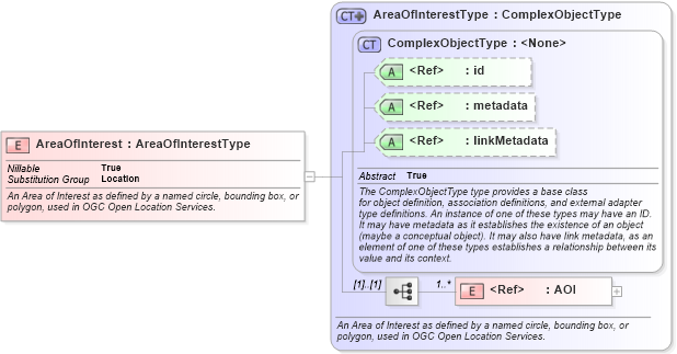
| Name: | AreaOfInterest |
| Namespace: | http://niem.gov/niem/geospatial/2.0 |
| Type: | geo:AreaOfInterestType |
| Containing Schema: | geospatial.xsd |
| Abstract | |
| Documentation: |
An Area of Interest as defined by a named circle, bounding box, or polygon, used in
OGC Open Location Services.
|
|
|
|
|||||||||
|
|||||||||||||||||
|
|
| geo:Location | |