| Definition Type: | Element |
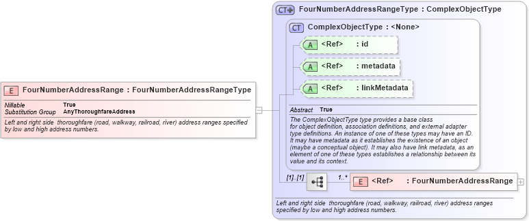
| Name: | FourNumberAddressRange |
| Namespace: | http://niem.gov/niem/geospatial/2.0 |
| Type: | geo:FourNumberAddressRangeType |
| Containing Schema: | geospatial.xsd |
| Abstract | |
| Documentation: |
Left and right side thoroughfare (road, walkway, railroad, river) address ranges
specified by low and high address numbers.
|
|
|
|
|||||||||
|
|||||||||||||||||
|
|
| geo:AnyThoroughfareAddress | |