<xsd:complexType name="GeographicalCoordinateType">
<xsd:annotation>
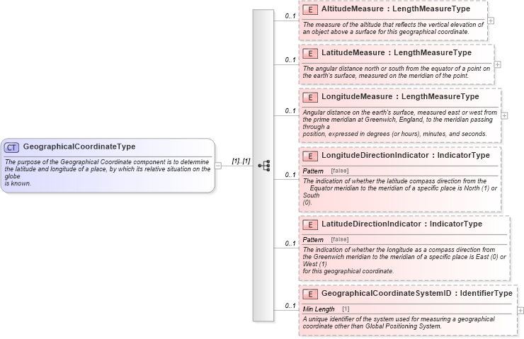
<xsd:documentation>The purpose of the Geographical Coordinate component is to determine
the latitude and longitude of a place, by which its relative situation on the globe
is known.</xsd:documentation>
</xsd:annotation>
<xsd:sequence>
<xsd:element maxOccurs="1" minOccurs="0" name="AltitudeMeasure" type="sqdt:LengthMeasureType">
<xsd:annotation>
<xsd:documentation>The measure of the altitude that reflects the vertical elevation of
an object above a surface for this geographical coordinate.</xsd:documentation>
</xsd:annotation>
</xsd:element>
<xsd:element maxOccurs="1" minOccurs="0" name="LatitudeMeasure" type="sqdt:LengthMeasureType">
<xsd:annotation>
<xsd:documentation>The angular distance north or south from the equator of a point on
the earth's surface, measured on the meridian of the point.</xsd:documentation>
</xsd:annotation>
</xsd:element>
<xsd:element maxOccurs="1" minOccurs="0" name="LongitudeMeasure" type="sqdt:LengthMeasureType">
<xsd:annotation>
<xsd:documentation>Angular distance on the earth's surface, measured east or west from
the prime meridian at Greenwich, England, to the meridian passing through a
position, expressed in degrees (or hours), minutes, and seconds.</xsd:documentation>
</xsd:annotation>
</xsd:element>
<xsd:element maxOccurs="1" minOccurs="0" name="LongitudeDirectionIndicator" type="udt:IndicatorType">
<xsd:annotation>
<xsd:documentation>The indication of whether the latitude compass direction from the
Equator meridian to the meridian of a specific place is North (1) or South
(0).</xsd:documentation>
</xsd:annotation>
</xsd:element>
<xsd:element maxOccurs="1" minOccurs="0" name="LatitudeDirectionIndicator" type="udt:IndicatorType">
<xsd:annotation>
<xsd:documentation>The indication of whether the longitude as a compass direction from
the Greenwich meridian to the meridian of a specific place is East (0) or West (1)
for this geographical coordinate.</xsd:documentation>
</xsd:annotation>
</xsd:element>
<xsd:element maxOccurs="1" minOccurs="0" name="GeographicalCoordinateSystemID" type="udt:IdentifierType">
<xsd:annotation>
<xsd:documentation>A unique identifier of the system used for measuring a geographical
coordinate other than Global Positioning System.</xsd:documentation>
</xsd:annotation>
</xsd:element>
</xsd:sequence>
</xsd:complexType>
|