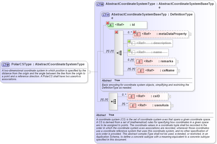
| Definition Type: | ComplexType |
| Name: | PolarCSType |
| Namespace: | http://www.opengis.net/gml |
| Type: | gml:AbstractCoordinateSystemType |
| Containing Schema: | coordinateSystems.xsd |
| Abstract | |
| Documentation: |
A two-dimensional coordinate system in which position is specified by the distance
from the origin and the angle between the line from the origin to a point and a reference
direction. A PolarCS shall have two usesAxis associations.
|
|
|
|
|||||||||||||||||||||||||||||||||||||||||||||||||
|
|||||||||
| gml:PolarCS | |