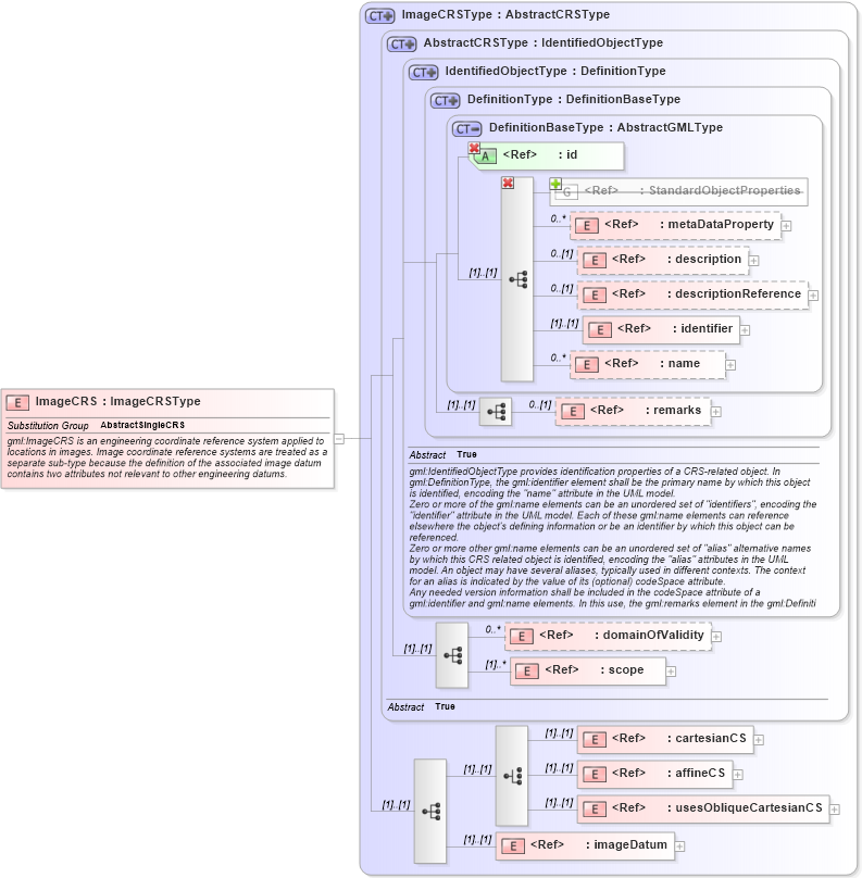
| Definition Type: | Element |
| Name: | ImageCRS |
| Namespace: | http://www.opengis.net/gml/3.2 |
| Type: | gml:ImageCRSType |
| Containing Schema: | coordinateReferenceSystems.xsd |
| Abstract | |
| Documentation: |
gml:ImageCRS is an engineering coordinate reference system applied to locations in
images. Image coordinate reference systems are treated as a separate sub-type because
the definition of the associated image datum contains two attributes not relevant
to other engineering datums.
|
|
|
|
|||||||||||||||||||||||||||||||||||||||||||||||||||||||||||||||||||||||||||||
|
|||||||||
| gml:AbstractSingleCRS | |